GEOLOGICAL SUMMARY


Between 12,000 and 15,000 years ago, during the final advance of the Wisconsin ice sheet, most of what is presently New York State was covered with up to one mile of ice. Beneath and in front of this ice was sheets and piles of unconsolidated debris ranging in size from clay particles to boulders, called glacial 
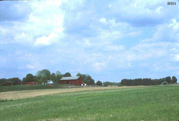
till. Below the ice within the what are currently the plains of Lakes Erie and Ontario, glacial till amassed into peculiar glacial features known as drumlins. Drumlins are streamlined hills, shaped like an airplane wing in horizontal profile. They can be from a few feet to over 100 feet in height and a few hundred feet to several miles in length, with the higher, wider ends pointing "upstream" into the ice flow, and the tapering tails pointing "downstream." There is debate as to how these features are formed, either under great pressure from the ice above or from substantial quantities of water flowing under the ice. See this site for further details:

http://freepages.genealogy.rootsweb.com/~springport/geology/drumlin.html


Although drumlins are found through much of New York State, they are most common in the Great Lakes plain, particularly from near Buffalo and Niagara Falls eastward over 200 miles nearly to the Adirondacks and Watertown. However, they occur in the greatest density in the eastern Lake Ontario plain primarily from Wayne and Ontario Counties east to Oswego County. This is one of the largest groupings of drumlins on earth.


IMAGES

This is a group of drumlins near Auburn, NY, which are unusually long and thin. The large red dot indicates the drumlin top where two of the below photos were taken by DHG in October, 2000. The small red dot indicates the position along the road where another photo was taken. Notice the wetlands trapped between these hills.

This is a photo looking east from the high drumlin. The red lines are the crests of other drumlins in the distance. Compare this to the topographic map.

This is looking west from the high drumlin towards the road, which itself is partly placed on a low drumlin. Drumlin crests are marked in red. Thin slivers of wetland occur between these drumlins, creating successive narrow strands of mesic beech-sugar maple (Fagus grandifolia-Acer saccharum) forest next to wet green ash-red maple (Fraxinus pensylvanica-Acer rubrum) forest. Some drumlins are present in this forest that are too low to be represented on even 1:25,000 scale topographic maps.

Looking east from the road towards the high drumlin.  Drumlin crests are marked in red.


Not all drumlin topography is so rugged. Much of it consists of gently-rolling low hills.


Travel across the core of the large drumlin field of New York State. Move from one map to another using the blue arrows. Scale of original maps 1:100,000. The red line represents the generalized northern limit of the drumlin field.


PHOTO CREDITS:

AW=Alan Witztum, DHG=Doug Goldman, JTR=Jason Rauscher, MHA=Mac Alford, RED=Robert Dirig, SVH=Scott Heald


[Return to Bog Home page]